Saturday, July 13, 2024 ~ 8:00 a.m.
Thunderbolt Creek Trailhead, west of Basin, MT
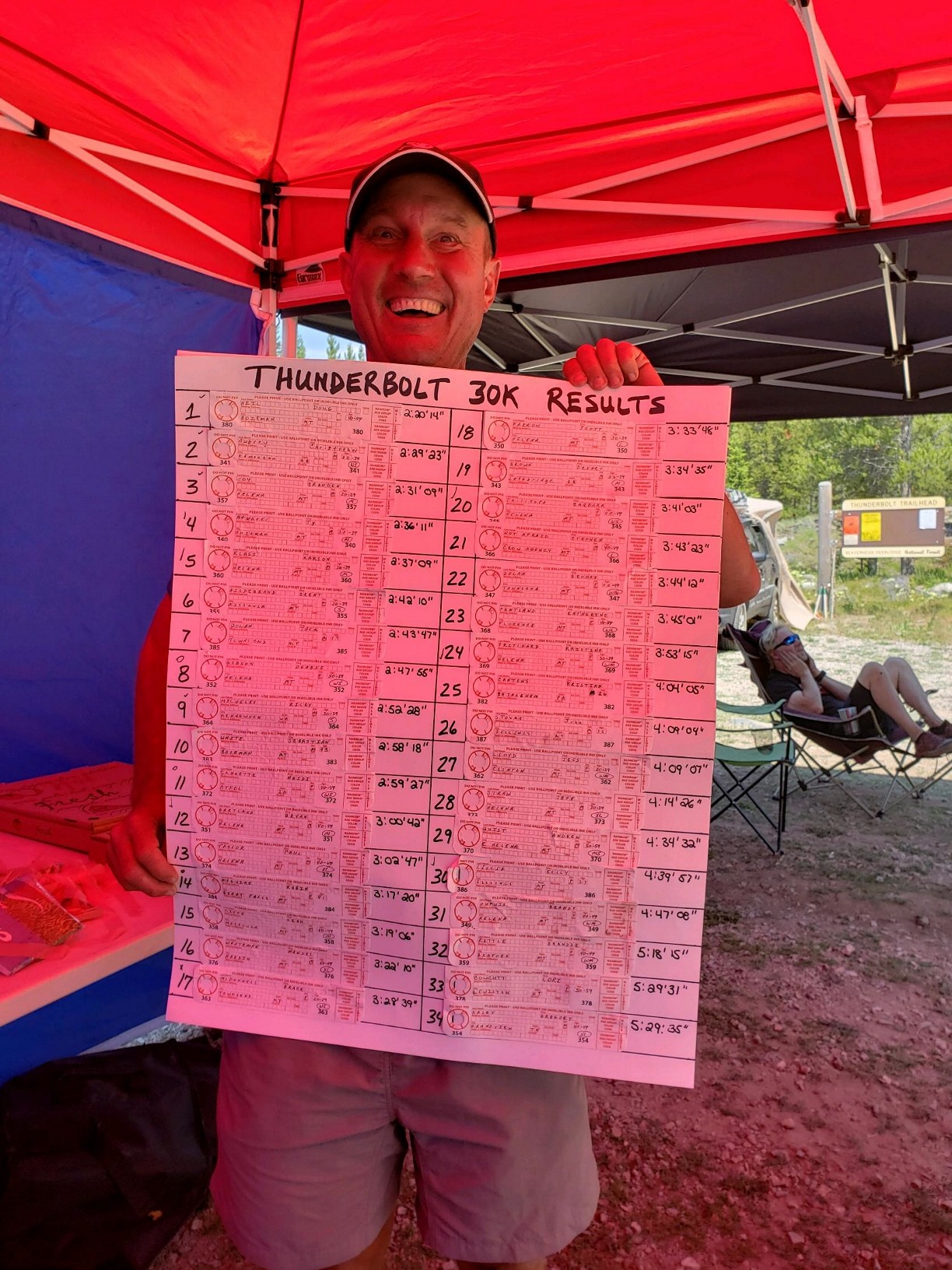
Results are posted below and at UltraSignup.
FOR 2024 SHATS SERIES POINT STANDINGS, CLICK HERE!
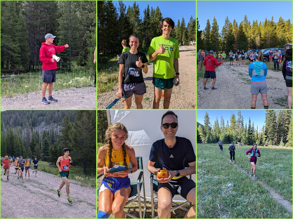
Looking for photos? Check out our album on the BQuickRunning Facebook page!
We thank all runners, volunteers, and sponsors who have made this such a great event over the years! The 2024 races were the last to be staged from the Thunderbolt Creek trailhead. Going forward, new courses and distances may be added to our Little Blackfoot River race near Elliston, Montana. Hope to see you there in July 2025!
What to Expect
Race description: These beautiful and moderately challenging 12k & 30K races take place on the Thunderbolt Creek trail and parts of the Continental Divide Trail (CDT) west of Basin, Montana. The 12k course has about 1,000 feet of elevation gain, with 30k runners gaining nearly 3,000 feet.
Seasoned runners may have PR opportunities here, but first-time 12k & 30k runners will enjoy the courses just as much. This is a one-of-a-kind experience! See “Aid Station and Race-Day Notes” below for more details.
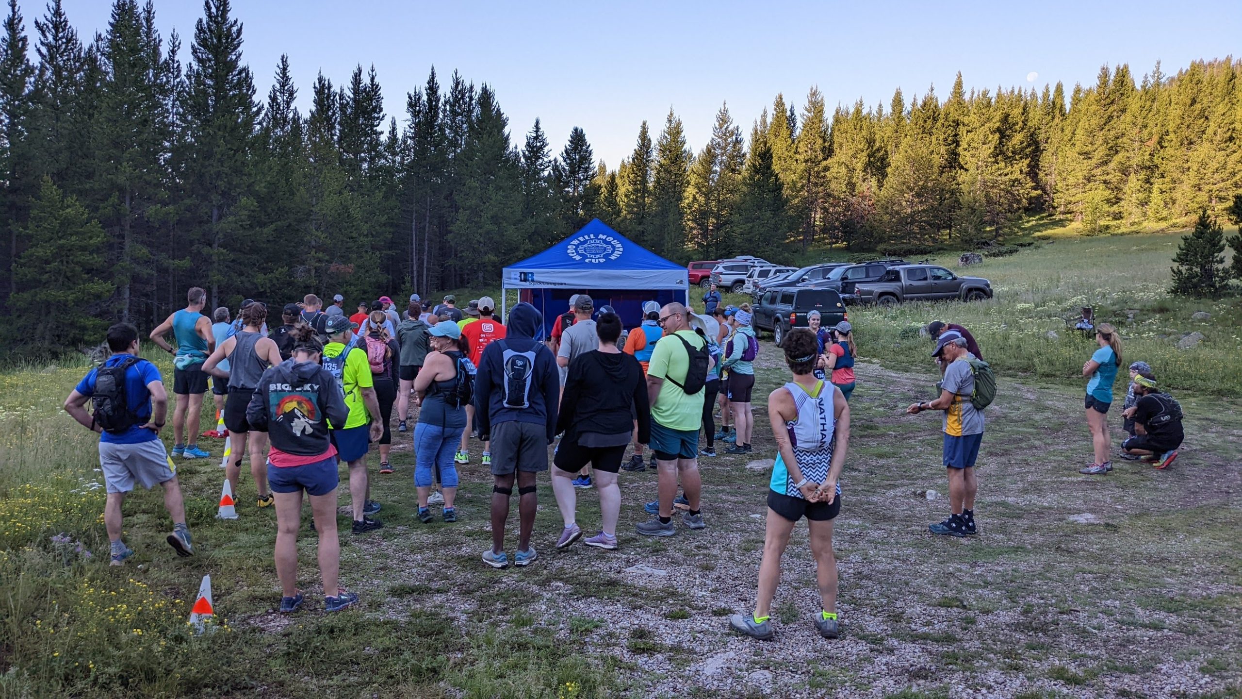
REGISTRATION DETAILS: Sign up online by July 10 at UltraSignup — or bring cash or check to sign up at the start line! Please arrive at the check-in table no later than 7:15 am if you are not pre-registered.
— 30k: early bird $70 thru April 30 / $85 from May 1 to race day.
— 12k: early bird $50 thru April 30 / $65 from May 1 to race day
Sorry, no refunds. Races are limited to 100 runners total.
NO CELL SERVICE AT VENUE. Please note there is no way to contact the race director on Thursday or Friday before the race, as he is at the venue marking the course and setting up.
Packet Pick-up takes place at the starting line on the morning of the race. Pre-registered runners should arrive no later than 7:30 to check in.
Shirts: Those who pre-registered by JUNE 10 and who make it to the race are guaranteed an awesome race shirt! Unclaimed and leftover shirts will be given out on a first-come, first-served basis.
Aid Station and Race-Day Notes
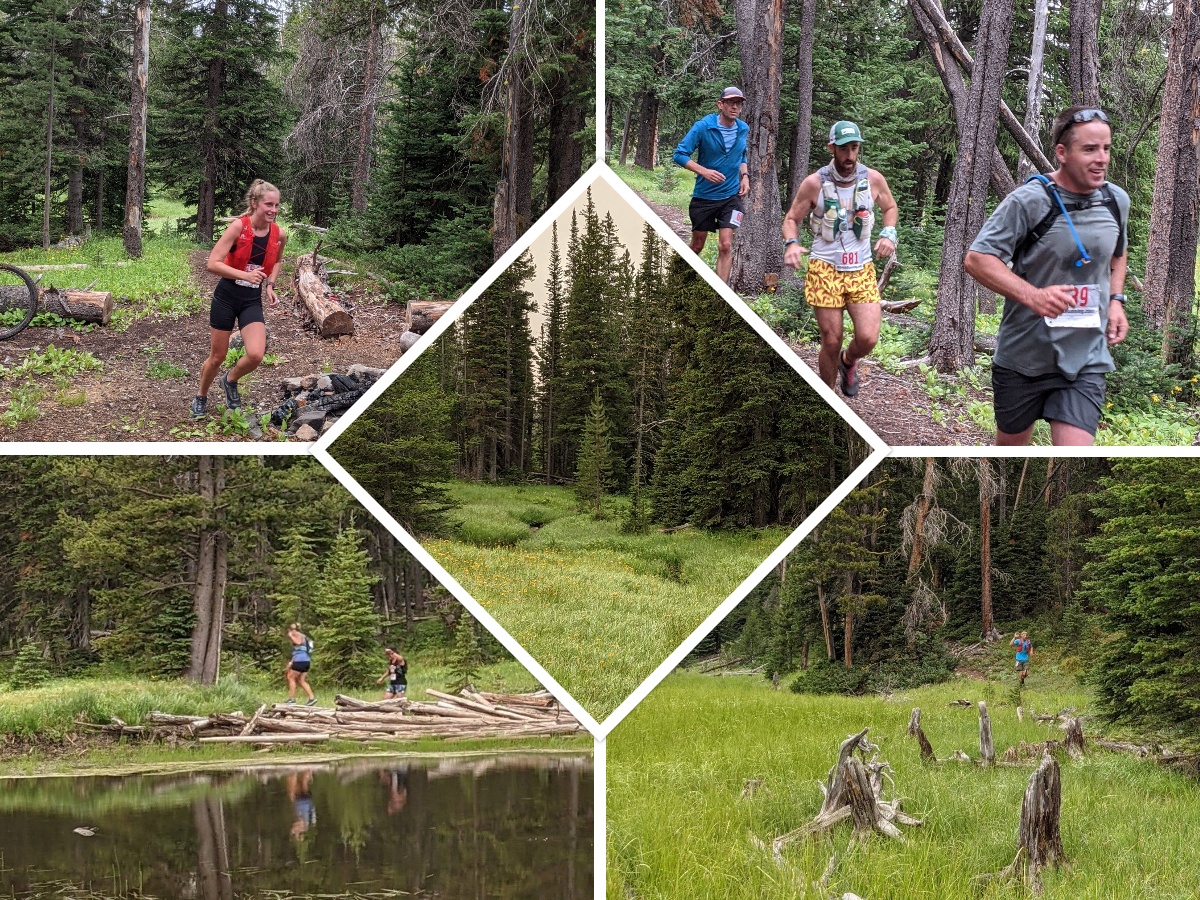
The Courses: Runners will start the race with a short, scenic loop on the gravel road before heading up the singletrack trail for approximately 3.6 miles to the aid station at the south end of beautiful Cottonwood Lake. The course is mostly rolling hills with some rocky sections… Watch your footing!
At the aid station, all runners will turn around. 12k runners will return to the start/finish line. 30k runners will head downhill for a ways before being directed back up to the Thunderbolt Mountain trail (just past the aid station). From there, runners will climb to the top of Thunderbolt Mountain to the remnants of an old fire lookout. This 3.3-mile segment climbs approximately 1,000 feet with switchbacks and loose rocks. We recommend refilling a water bottle at the aid station before starting this climb!
When 30k runners reach the peak, they must find the comic book at the old lookout and tear a page out to prove they made it! Enjoy the stunning 360-degree view for a moment before heading back down. They’ll hit the Cottonwood Lake aid station for the third time (but be warned, volunteers will pack it up at 1:00 pm.) Then it’s a quick 3.6 miles downhill to the start/finish line!

If you encounter horses, step off the trail to the downhill side. ALL trail users must yield to horses!
Post-Race Food and Awards: Relax afterward in this beautiful location and join us for brats and beer from Helena microbreweries. You can take a dip in the creek to cool off, and chips, soda and water will be plentiful. Overall and age-group winners will receive a unique, handmade award.
Directions to Trailhead and Camping Options
Allow 1 hour travel time from Helena and 45 minutes from Butte.
Driving south from Helena or north from Butte on I-15, take Exit 151 (Bernice) and head west toward Boulder River Rd #82. At the fork in the road, turn right (watch for signs) and continue about 6 miles on well-maintained gravel road toward White House Campground. Just across from the entrance to the campground and picnic area, you’ll turn RIGHT onto a narrow Forest Service road and proceed approx. 1.6 miles to the Thunderbolt Creek trailhead. (This segment of road is rough in spots, but regular passenger cars should be able to navigate the bumps.)
*** Parking: DO NOT PARK IN THE TURN-AROUND at the trailhead. Horse trailers need room to pull all the way through. You will be directed to park in the grassy area, side-by-side as tightly as possible. Invite your friends and carpool if possible! Thanks for your cooperation. ***
Camping: Some runners choose to pitch a tent or car-camp near the start/finish. Be prepared for chilly overnight temps in these mountains!
Results
To keep prices as low as possible, we do not hire a race photographer – – but in some years, volunteer photographers have shared their pictures! See links below to view or download photos from those races.
2024 – Facebook photo album
2022 – Aid station and misc. snapshots
2021 – Aid station and misc. snapshots
2020 – Finish line snapshots
2017 – Michael Chapman’s photo album
We thank all of our sponsors for financial or in-kind support for the Thunderbolt Creek 30k!
Race shirts by Bart Coulter of Bart Wear

